X127 is not the wreck I would choose to advertise Malta’s famous blue-water visibility. It sits inside Marsamxett Harbour, the bottom is silty and some days the water can be decidedly green. Yet I have returned to it again and again. My logbook contains more than fifty dives on X127, many of them working dives, and the reason is simple: at shallow depth, in a compact area, you are swimming around a vessel whose story stretches from the First World War to the Siege of Malta.
Site at a glance
Built for Gallipoli
The X-lighters were created in 1915 when Britain urgently needed shallow-draught craft able to move troops, horses, guns and supplies onto shelving beaches during the Dardanelles campaign. They were functional vessels rather than elegant ships: broad, tough and designed to work close to shore. The distinctive spoon-shaped bow that makes X127 immediately recognisable underwater comes directly from that original purpose.
X127 survived the First World War and eventually found a second life in Malta. She was converted for harbour duties, first as a water lighter and later as a fuel lighter. By the Second World War she was supporting the Royal Navy’s 10th Submarine Flotilla around Manoel Island, moving fuel in one of the most heavily attacked naval areas in Malta.
6 March 1942
During the intense air attacks on the submarine base in March 1942, X127 was hit while working close to the submarines. She caught fire and sank in Lazzaretto Creek. The damage around the middle of the wreck is one of the most interesting details underwater: metal is torn and distorted around the area where the fuel tanks were located, a physical reminder that this was not a vessel deliberately prepared for divers.
The wreck was considered a war loss and remained where it sank. That is part of what makes the dive different from Malta’s intentionally scuttled wrecks. Nothing about X127’s final resting place was chosen to make a good dive site.
Coralita, Carolita… and the problem of identity
For decades local divers knew the wreck by names such as Coralita, Carolita or simply the barge. Its real identity was uncertain. An underwater survey in the early 2000s initially linked it to X131, but subsequent historical work established the wreck as X127.
That confusion is also why older descriptions can contain the wrong sinking date. The short version of this article that I published in 2018 repeated the 21 April 1942 date associated with the X131 story. This expanded guide corrects that: the wreck off Manoel Island is X127, lost on 6 March 1942. I prefer correcting an old article openly rather than quietly pretending the mistake was never there.
The dive
X127 lies upright on a slope. The bow is very shallow, around five metres, while the stern reaches roughly twenty-two metres. That creates a naturally progressive wreck dive: the same vessel can look completely different depending on which end you spend time around.
The bow is one of my favourite details because it reveals what the craft was built to do. Look at the shape rather than expecting the lines of a conventional ship. Bollards, fairleads and the broad landing-craft geometry make much more sense once you know the Gallipoli background. Moving deeper, the wreck shows heavier wartime damage and a more broken structure.
Because the wreck is compact, there is no need to race around it. A slow circuit gives time to understand the structure, inspect the damage and watch the marine life that uses the steel as shelter. There are also scattered objects in the general area, but for me the wreck itself is the reason to be there.
Visibility changes the character of the dive
This is Marsamxett Harbour, not Dwejra or Ċirkewwa. Visibility can be limited and the seabed is fine enough that poor finning can make it much worse in seconds. Good trim and controlled propulsion make an enormous difference. A torch is useful even in daylight, not because the wreck is deep, but because it brings back contrast when the water is green or hazy.
I actually think the reduced visibility suits X127. It gives the wreck an atmosphere that a perfectly clear day would almost take away. You see the bow emerge rather than appearing all at once, and the history feels very close.
Getting there and getting in
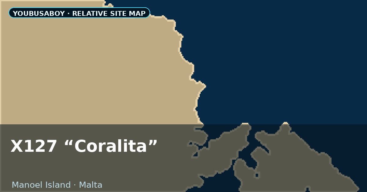
The wreck is off Manoel Island at the beginning of Lazzaretto Creek and is normally approached as a shore dive. The practical entry arrangements around the marina and waterfront have changed over the years and can change again with development, marina controls or works on the island, so I would confirm the current access before arriving with cylinders.
Once in the water, the wreck is close enough for a straightforward harbour dive rather than a long blue-water swim. It is still an active harbour environment, so I do not treat shallow depth as an excuse to relax awareness of boat traffic. A DSMB belongs in the plan whenever surfacing away from a protected exit is possible.
BusaBoy note
I have logged more than fifty dives on X127. Some were short training dives where I barely reached the deepest part; others were longer working dives around the whole wreck. That repetition changed the way I see it. X127 is not spectacular in the same way as Um El Faroud, and it does not have the scenery of the Blue Hole. It is smaller, murkier and less photogenic.
But it has something the artificial wrecks can never reproduce: it is exactly where history left it. Once you know what the strange spoon-shaped bow was designed for, why the middle of the hull is torn apart and why divers spent decades calling it Coralita without really knowing what it was, the dive becomes much more than a shallow barge in the harbour.
Where it is
GPS reference: 35.90090, 14.50380. Coordinates identify the wreck position for orientation; they do not replace underwater navigation, a current local briefing or confirmation of shore access on the day.